
Maps of Penn South Footprint (1916, 1934)


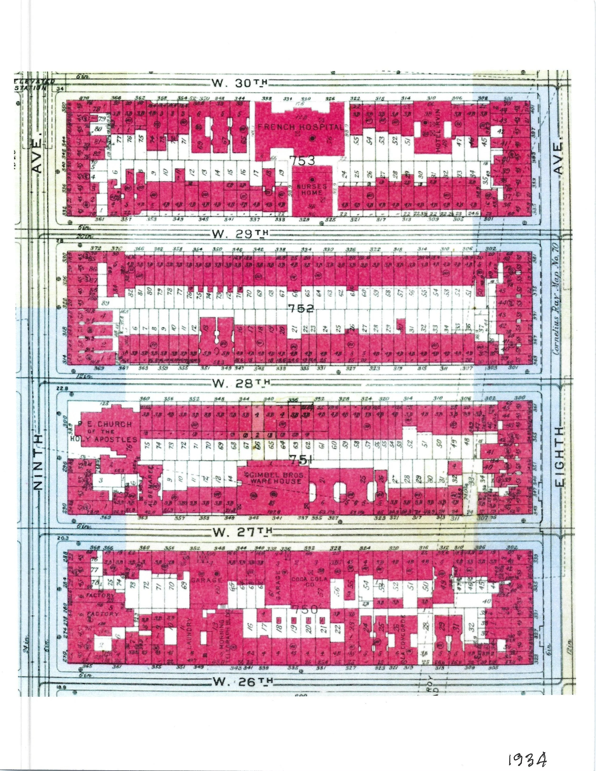
Description: Four maps (Black and Lot plans) from 1916 and 1934: 22nd Street - 30th Street between 8 and 9 Ave.
Contributor: Andrew Alpern
Who Made this object: Coop Connection Newsletter
Year: 1916, 1934
Reference: #0028